Changsha office 0731-88922097
Zhuzhou office 0731-22867780
DETAILSPAGEProduct CenterTechnical SolutionProject Case |
Particulars
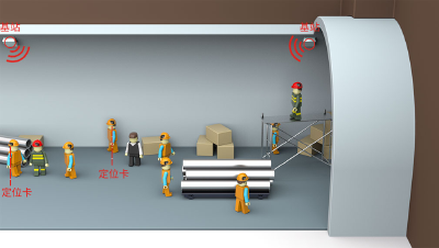
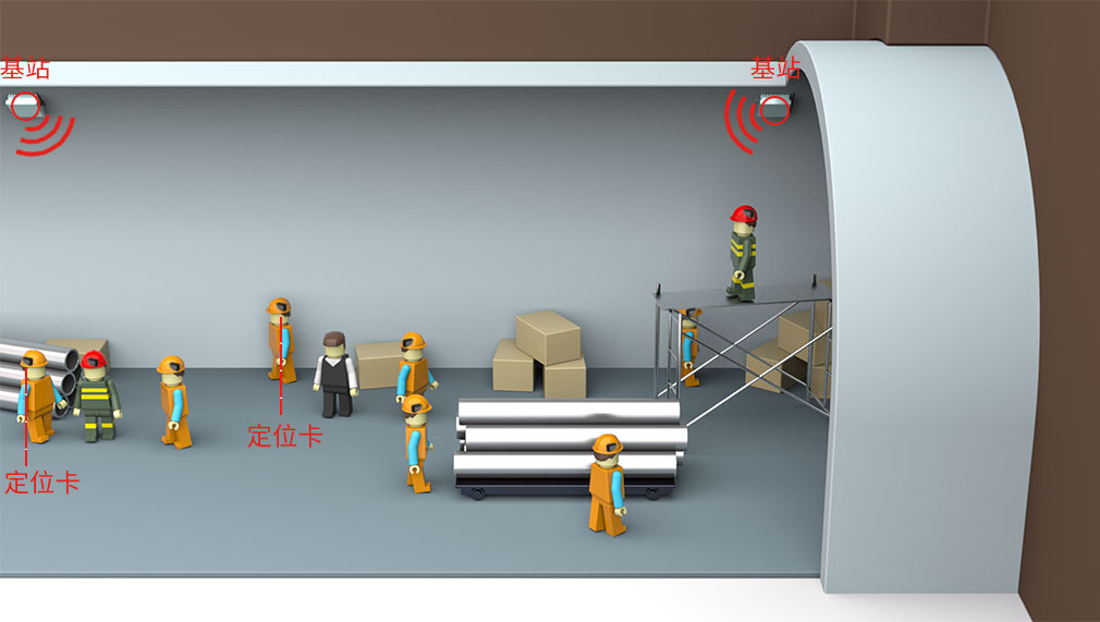
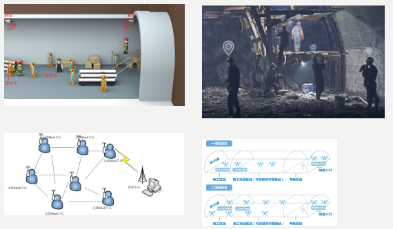
Product features and advantages: The system uses the laser sensor, UWB positioning device and other measuring equipment to obtain the distance and angle information between the person and the control point, solve the coordinate information, and settle the geographical coordinates of the control point, and wirelessly transmit it to the industrial tablet. Or obtain a precise location in real time by deploying a positioning base station in the tunnel, configuring positioning tags for builders and equipment. Real-time grasp the position coordinates of the underground engineering production workers and equipment, relying on position coordinates, attitude information, angle information, etc., to provide accurate operation reliability and personnel disaster rescue success rate. Product application range: High-precision long-distance measurement of distance and inclination from control points, millimeter-scale ranging accuracy, ranging range of 1.5km It contains modules such as high-precision gyroscope and three-axis tilt sensor, and reads the attitude information such as the azimuth and inclination of the car body through the integrated circuit board. With infrared night vision function, the auxiliary laser sensor can aim at the target in a low illumination environment and output video images in wired/wireless mode. Display: Real-time display of video images captured by the aiming module, showing geographic coordinate calculation results Exlosion-proof enclosure: protects internal core components from harsh environments and damage Geographic coordinate data can be wirelessly transmitted to industrial tablets via Bluetooth
|


